NEW: The 2023-2025 Digital Yearbook is Now LIVE!
EXPLORE NOW
Natalie Baillargeon
Research
Throughout Alaska, this wildfire season is on track to be historically unprecedented; already over 2 million acres have burned. The majority of these fires are ignited by lightning strikes and then fueled by drier conditions, reduced snow pack, and greater plant biomass. All of these factors are driven by climate change, which has caused the Arctic to warm 2x-3x times faster than the rest of the globe.
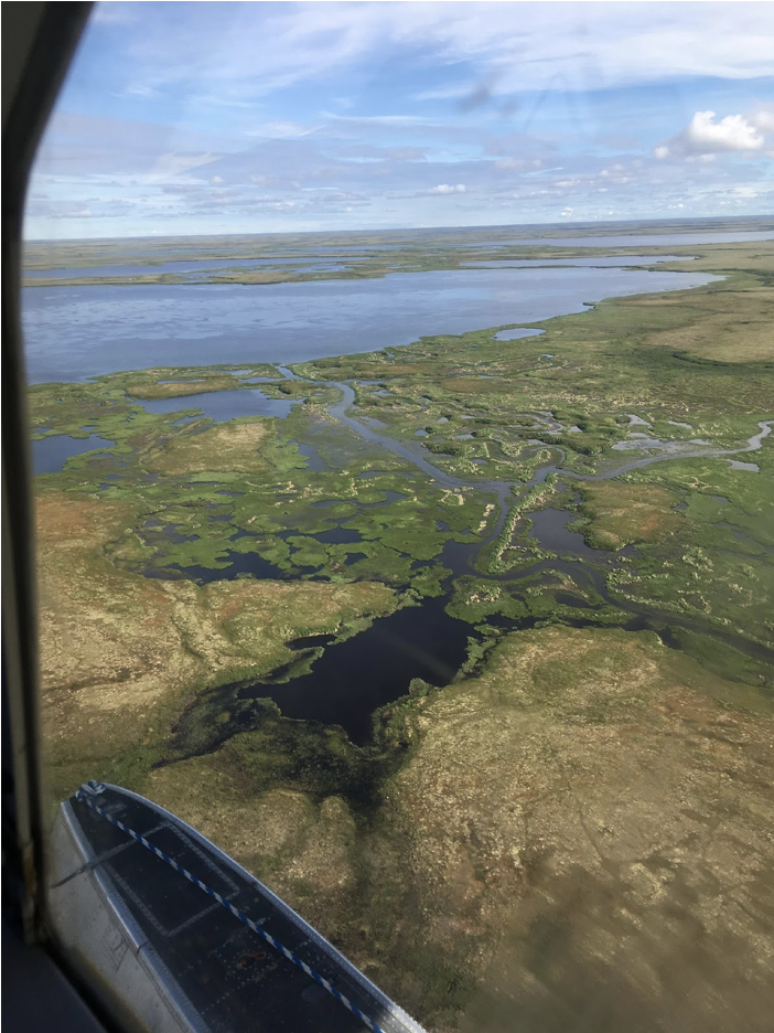
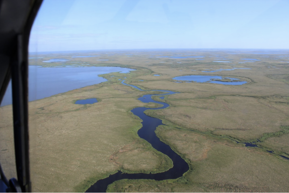
While fires in Alaska are often contained in boreal forests, tundra fires have made up a significant portion of the burned acreage this year. Notably, the East Fork Fire is the largest wildfire on record to burn in the Yukon-Kuskokwim Delta (YKD), located in the southwestern portion of the state. While YKD is dominated by wetland tundra, upland areas have experienced an uptick in wildfires over the past two centuries. Much of this region is also underlaid by permafrost (frozen soil), which stores twice as much carbon as in the atmosphere. As a result of climate change, permafrost is thawing. Thawing permafrost, which can be further exacerbated by wildfires, is accelerating climate change by releasing greenhouse gases, creating a self-enforcing positive feedback loop.
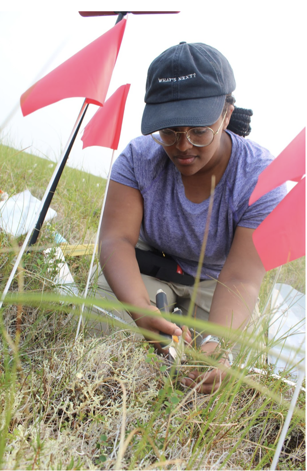
There is a limited but growing body of literature working to understand the biogeochemical implications of more frequent and severe tundra wildfires. Since 2018, a cohort of scientists, including myself, have been studying the resilience of tundra plant communities in the YKD to fire. To do this, we spent two field seasons-2018 and 2019--in the YKD, where we harvested aboveground plant and lichen biomass across a gradient of burn history: unburned, a 2015 burn, and a 1972 burn (see Figure 1)
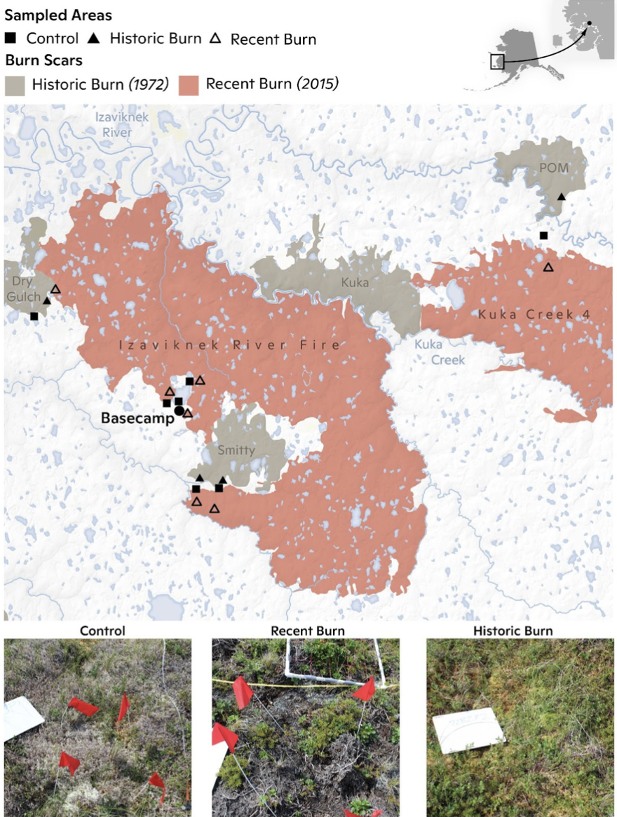
Figure 1: Map of burn history and sampled areas in the YKD of Alaska. The bottom panel includes photos of plots sampled in unburned, Recent Burn (2015 burn), and Historic Burn (1972 burn) areas. Map created by Carl Churchill.
2015 was another historically unprecedented fire season for the YKD, where 179,399 acres burned, which is more than the total area that had burned in the past 74 years. We found that fire-driven shifts in plant community structure and nutrient distribution can persist for decades, potentially impacting wildlife, future fire risk, and Indigenous subsistence hunting. For example, in the 47 years after fire, we found that lichen biomass did not recover, a food source that caribou species rely on and could impact their migration patterns. Understanding these threats and how to prepare is important; however, we need to act now to reduce carbon emissions and avoid worsening conditions.